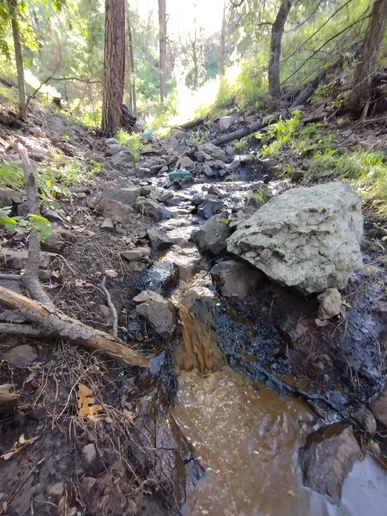
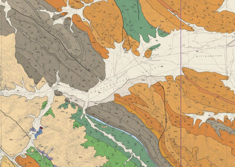
On September 26, 2022, a tanker operated by R. Marley LLC on contract for the New Mexico Department of Transportation fell on its side while […]
Tag: mapping
What do scientists use to determine the geologic time scale?
Main principles and techniques in constructing the geologic time scale.
How do we select factors / attributes to find potential groundwater recharge zones using GIS and remote sensing?
How to use remote sensing and Geographic Information Systems to select ideal groundwater recharge zones.
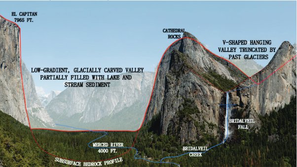
Why are glacial valleys shaped differently from river valleys?
Learn how the history and evolution of the Merced River shaped Yosemite National Park.


